Solutions
Start with
a purpose.
Choose what you want to understand. Follow the path from aircraft to useful information.
01
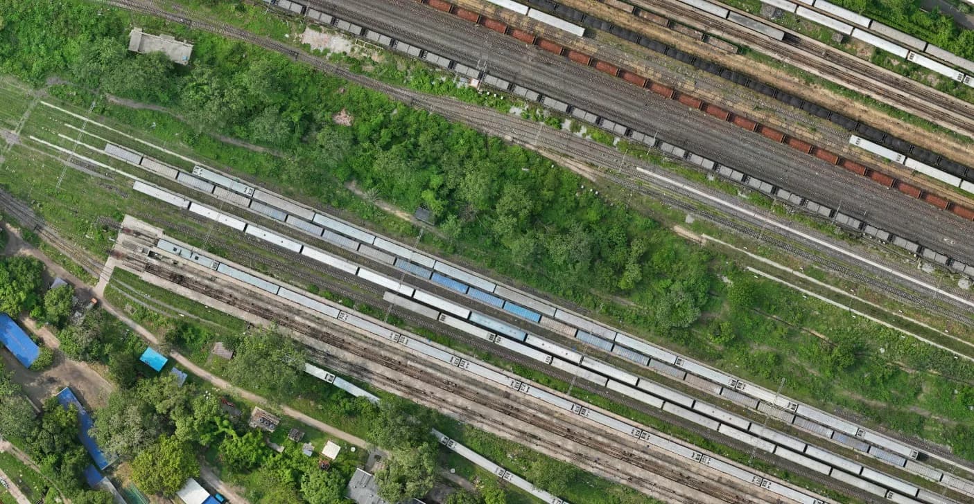
Survey, Mapping & GIS
From overlapping images to a connected view of the ground.
Explore the workflow ↗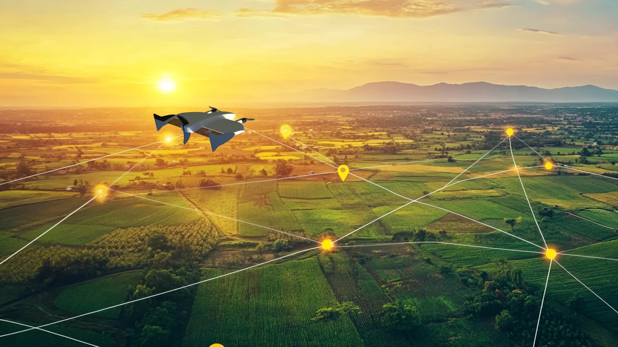
02
Agriculture & multispectral
See beyond visible colour. Put field variation into context.
Explore the workflow ↗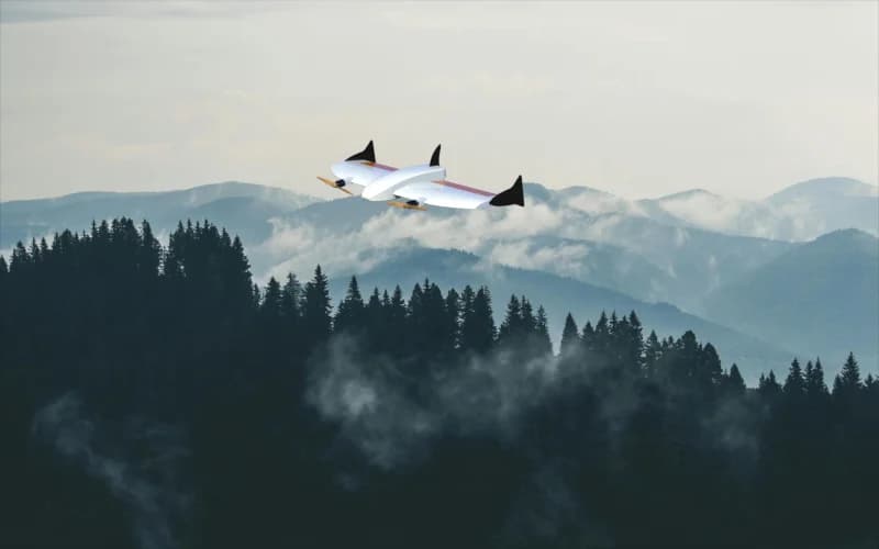
03
Defense & Homeland Security
Aerial observation, grounded in the mission requirement.
Explore the workflow ↗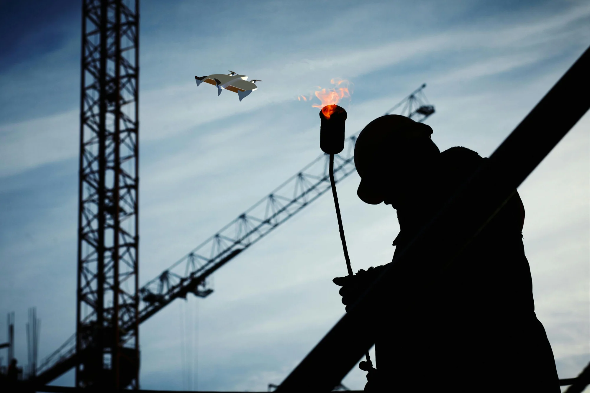
04
Critical Infrastructure Protection
A closer view of the assets that keep a region moving.
Explore the workflow ↗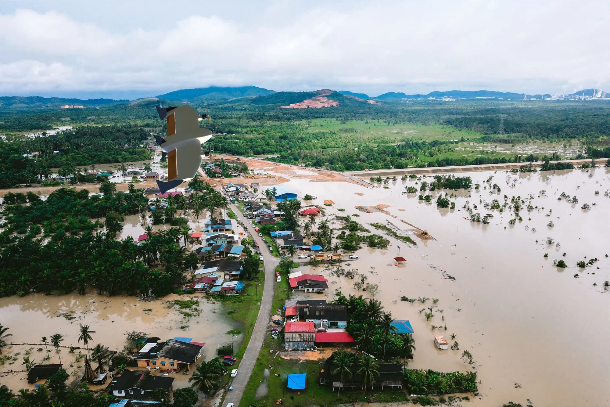
05
Emergency Response
A wider view when the situation is changing.
Explore the workflow ↗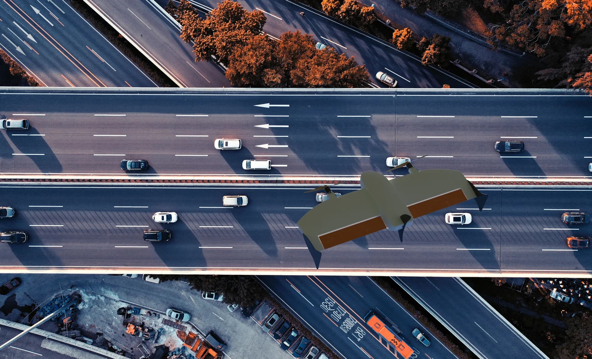
06
Smart Cities & Public Safety
Understand a changing urban landscape from above.
Explore the workflow ↗07
Industrial Inspection
Bring difficult-to-reach infrastructure into view.
Explore the workflow ↗