Solutions / Survey, Mapping & GIS
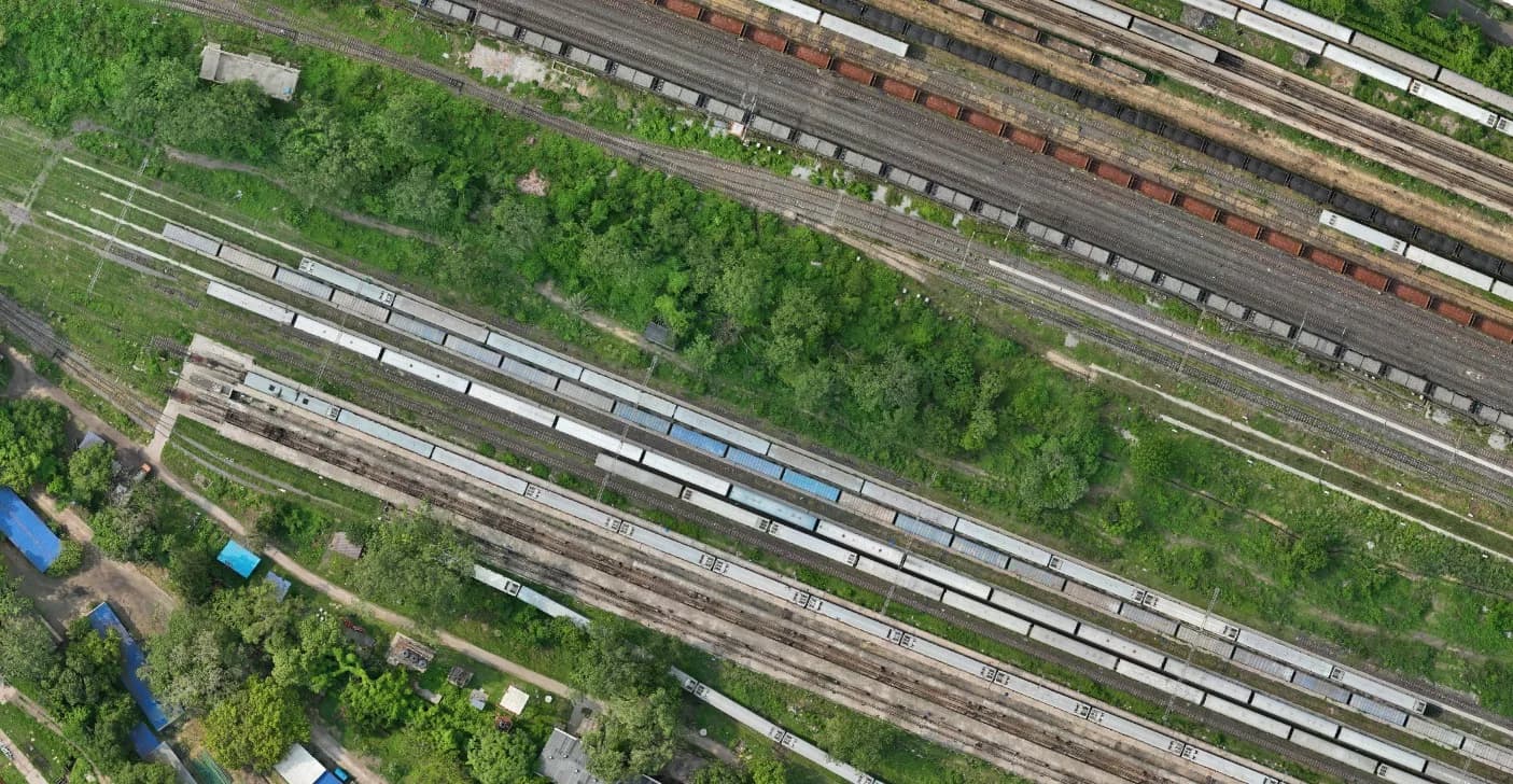
From overlapping images to a connected view of the ground.
Explore the workflow ↓The journey
From question
to perspective.
Orthomosaics, surface models and GIS deliverables depend on capture quality, control and processing.
01Define the area02Plan the capture03Acquire imagery04Build the result